Grand Canyon Rim to Rim
Click on a picture to view it full size
Yet another hike down the Grand Canyon? As the saying goes: Been there, done
that. But not exactly.
There was one major trail I had not hiked to/from an unknown section of the
canyon. I have heard it is a beautiful magical place. A place of few visitors.
The place is the North Rim.
The remoteness of this area is hard to fathom as you’re standing at the
South Rim with it’s 5 million annual visitors. As the crow flies it’s a mere
18 miles. On foot down the trails, it’s almost 24 miles. To drive, however, it’s
over 150 miles! To compound the remoteness (or simply because of it), there are
no major cities anywhere near the North Rim. So if you’re going to get there,
it’s going to be after either a long drive or a long hike.
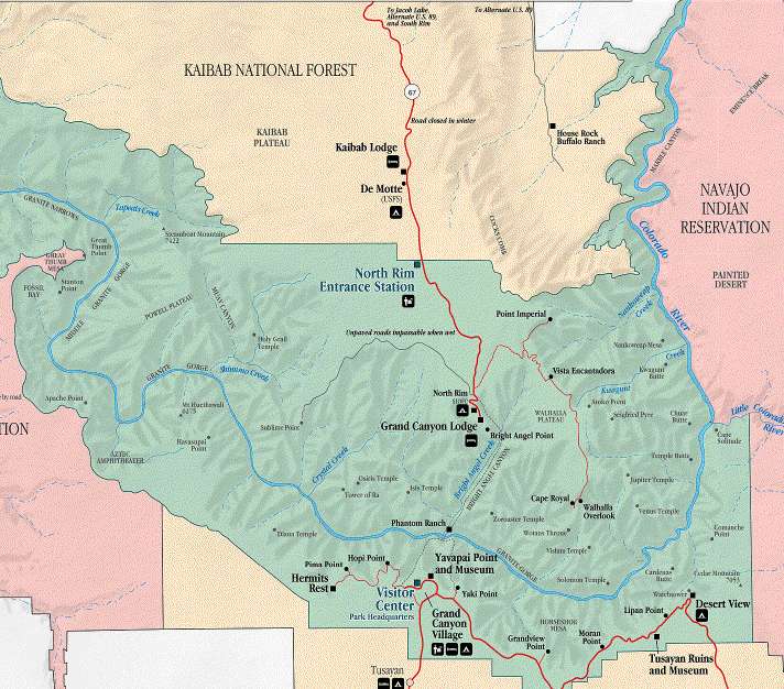
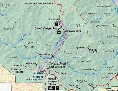 The hike we planned is called Rim to
Rim and the route is shown at the left in purple. Technically, you can start from
either the South or the North Rim, but most choose the later because the North
Rim is about 1000 feet higher. For us, because Cindy was dropping us off and
would be picking us up, she would be driving to a familiar place and knew
exactly where we would finish. Going North to South, however, has disadvantages
that I had only heard about, but now got to experience first hand. Not only is
accessibility an issue, a larger one is lodging or I should say the lack of it.
The North Rim is only open from May through October and I soon discovered there
were only three available lodges, all of them small, and all of which were
booked for our selected weekend. I was not too surprised since I’d heard you
should make reservations up to a year in advance. The best one is the Grand
Canyon Lodge right on edge of the North Rim. The next one, the Kaibab Lodge is
22 miles away, just outside the park.
The hike we planned is called Rim to
Rim and the route is shown at the left in purple. Technically, you can start from
either the South or the North Rim, but most choose the later because the North
Rim is about 1000 feet higher. For us, because Cindy was dropping us off and
would be picking us up, she would be driving to a familiar place and knew
exactly where we would finish. Going North to South, however, has disadvantages
that I had only heard about, but now got to experience first hand. Not only is
accessibility an issue, a larger one is lodging or I should say the lack of it.
The North Rim is only open from May through October and I soon discovered there
were only three available lodges, all of them small, and all of which were
booked for our selected weekend. I was not too surprised since I’d heard you
should make reservations up to a year in advance. The best one is the Grand
Canyon Lodge right on edge of the North Rim. The next one, the Kaibab Lodge is
22 miles away, just outside the park.
This hike can truly be a once in a lifetime adventure. The outrageous
distance, the uneven terrain, and the insane elevation changes get you into an
exclusive club. Doing it in one day can be suicidal because the endurance
needed. 5700 vertical feet down and almost 15 miles to the river. Then another 9
miles and 4500 vertical feet up. 24 miles! I’ve done over 24 miles on
relatively flat conditions exactly three times on my three full marathon runs.
In two of those three I was pretty tired by mile 15 and exhausted by mile 18.
Now I would be doing nearly the same distance on an uneven trail with this
incredible ascent and descent. The park service strongly discourages this hike
when done as a day hike.
Knowing how bad this could be (and knew it probably would be by the end)
preparation was paramount. I never take these excursions lightly. I started in
early July hiking the trails at Squaw Peak and the nearer Pinnacle Peak for a
3-month preparation period. I favored the Pinnacle Peak trail because of it’s
proximity, even though Squaw Peak would actually be a better training area.
Training in the summer heat is somewhat demoralizing. If you don’t get to the
trail until 10:00, you’re assured of 100+ temperatures. I found under those
conditions that even a measly two laps of Pinnacle Peak exhausting. One lap of
the trail: 3.5 miles! So what’s the problem with total fatigue after 7 miles?
17 additional miles needed to complete the entire trail at the Grand Canyon!!
I ended up having additional incentive to keep up the training in the summer
heat. I was going to run in the Golden Leaf Mini when we visited John & Nan
in Aspen in late September. This was a 13.1 mile (half marathon distance) trail
race at a considerable altitude. So besides the mountain trail training, I
needed road work. That means running/jogging. I really need to be motivated in
order to run. I tried to give myself additional motivation by having a goal of
competing once again in the Tucson Marathon which is in early December.
Not knowing exactly what weekend we could go, we could not book a room well
in advance. So when the time came, we found no rooms available at any of the
three lodges. However, all of them recommended calling a day or two in advance
because they often get cancellations because everyone needs to book so far in
advance.
 So with no place to stay at the North Rim, I pondered the alternative:
staying at the South Rim. Lodging was available just outside the park in the
small town of Tusayan which is
just 10 minutes from the trailhead so that became our fallback position. We
would hike South to North which for myself offered some advantages. I knew I
could get a nice big breakfast at the nearby Yavapai Lodge and then take the
shuttle bus to the South Kaibab Trailhead. I love the South Kaibab Trail! 4700
vertical feet down over 6.7 miles (a little over an hour) and we’d be at the
river. We could leave at 6:30 in the morning just as the sun was coming up so we’d
be out of the hot part of the canyon before the sun would be too high. This
would not be conducive to picture taking on this part of the trail, but I’ve
got hundreds already of the South Kaibab. The sun would be favorably placed to
show off the scenery on the North Kaibab when we arrived. And there was water
available at three locations along the route. If that wasn’t good enough, the
path followed the Bright Angel Creek, which is spring fed. If push came to
shove, we had water purification tablets.
So with no place to stay at the North Rim, I pondered the alternative:
staying at the South Rim. Lodging was available just outside the park in the
small town of Tusayan which is
just 10 minutes from the trailhead so that became our fallback position. We
would hike South to North which for myself offered some advantages. I knew I
could get a nice big breakfast at the nearby Yavapai Lodge and then take the
shuttle bus to the South Kaibab Trailhead. I love the South Kaibab Trail! 4700
vertical feet down over 6.7 miles (a little over an hour) and we’d be at the
river. We could leave at 6:30 in the morning just as the sun was coming up so we’d
be out of the hot part of the canyon before the sun would be too high. This
would not be conducive to picture taking on this part of the trail, but I’ve
got hundreds already of the South Kaibab. The sun would be favorably placed to
show off the scenery on the North Kaibab when we arrived. And there was water
available at three locations along the route. If that wasn’t good enough, the
path followed the Bright Angel Creek, which is spring fed. If push came to
shove, we had water purification tablets.
Who is this we? My hiking partner was Ronnie Hendricks and this would mark the third
hike we’d done together in the Canyon. Ron did not specifically train for this
hike like I had done. He has a 11 year advantage on me plus he was training for one of for the most grueling tests of stamina known to humankind: the Ironman
Triathlon. (For anyone not familiar, that event is comprised of 2.4 miles of swimming followed by 112
miles of biking and finally a 26.2 marathon run. All one after another and all
in the same day.) Yes, I wasn’t worried about him in the least. However,
what does this say about me? Not only am I attempting this already insane
physical endurance test by doing the whole thing in one very fast shot, I'm doing it with
someone in the top .01% (probably even more) of all athletes with an 11 year
advantage? I think the answer is pretty obvious! ;-) Footnote:
so, how did he he fair in the Ironman?
But I was a little worried about Cindy, even though she was still
enthusiastic about meeting us on the North Rim. The maps showed you really
couldn’t get lost and I spotted a picture of the parking lot at the trailhead
so it would be easy to find.
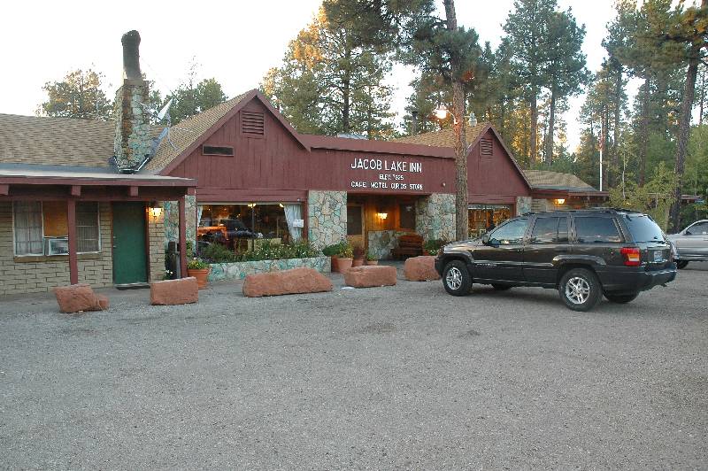
With 3 days to go, we called the Grand Canyon Lodge and then the Kaibab Lodge
with no luck. No cancellations. At Jacob Lake, however, there was a single cabin
available that had two bedrooms. I saw staying there problematic, but it was the
best alternative. If we went North to South, I lobbied for a 7:30 start rather
than earlier. My reasoning had to do entirely with photography. But staying at
Jacob Lake so far away would make a later start an inevitability.
It has become customary for me to check the weather obsessively the whole
week before a Grand Canyon hike. At first the weather reports were not
encouraging as temperatures were above average. The reason for an October hike
is that the weather should have turned. I would have preferred at least one week
later (if not two), but this was the only one where Ron was available. With two
days to go the temperatures appeared to fall back to normal and the forecast was
for partly cloudy skies.
October 2, 2004
 With a long drive ahead of us, an early start would be advised, but that was
not possible with Ron along. He was coaching a group of first time marathon
runners every Saturday morning and had to finish those duties before driving to
our house. Both him and Cindy wanted lunch and we needed a quick stop at a
grocery store for last minute supplies before we could officially "hit the
road." Consequently, I felt in no particular hurry because there was no way
we could be there in time to explore the North Rim area before dark. My rough
calculation put us at the lodge around sunset.
With a long drive ahead of us, an early start would be advised, but that was
not possible with Ron along. He was coaching a group of first time marathon
runners every Saturday morning and had to finish those duties before driving to
our house. Both him and Cindy wanted lunch and we needed a quick stop at a
grocery store for last minute supplies before we could officially "hit the
road." Consequently, I felt in no particular hurry because there was no way
we could be there in time to explore the North Rim area before dark. My rough
calculation put us at the lodge around sunset.
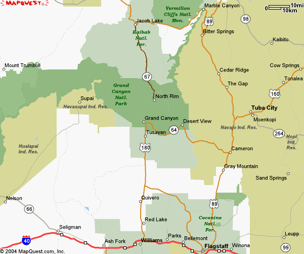
I drove the first shift to Flagstaff. All drives to the canyon go through
Flagstaff and it is a logical stopping point for gas, food, and restroom
facilities. From here our usual route which would take us directly to the south
entrance was abandoned. We would be bypassing the Grand Canyon completely as
would practically be driving to Utah in order to get to the North Rim. If you
drive directly there without a meal stop, it’s make able in three and a half
hours; going around I was thinking six.
After Flagstaff, Cindy took the wheel, allowing me to really look around and
possibly take a few pictures. We were on Arizona 89 and we had not been on this
road since 1989. A great stop is the Sunset Crater area just north of Flagstaff
and only a couple mile detour. This is a dormant volcano with lava fields
reminiscent of those we’ve seen on the big island of Hawaii near Kilauea. But
we had absolutely no time to spare I couldn’t even fire a single picture.
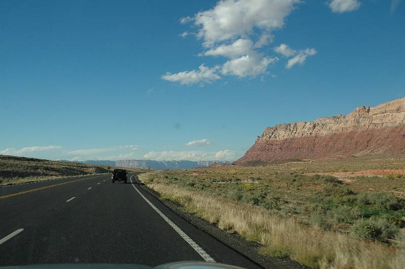
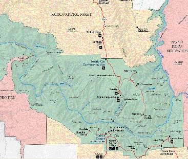
The first couple of times we journeyed to the Grand Canyon was via this
route. At a small town called Cameron you turn west and enter the South Rim of
the Grand Canyon at a place called Desert View. From there it is a fantastic
ride west passing half a dozen overlooks each more spectacular than the next.
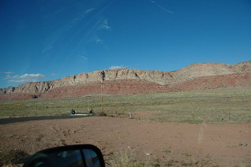
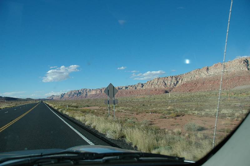
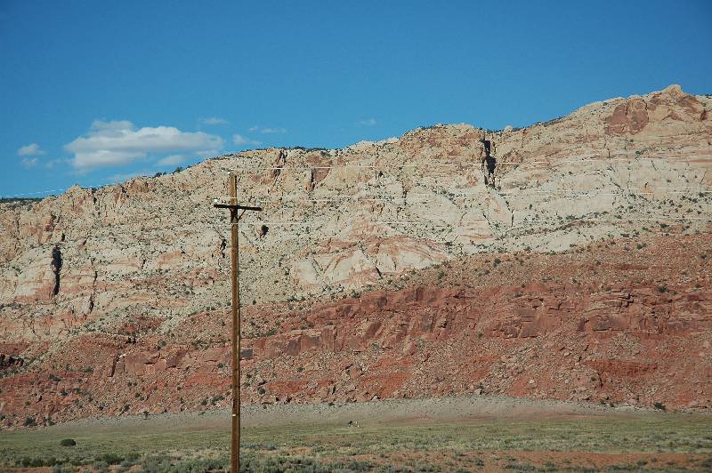
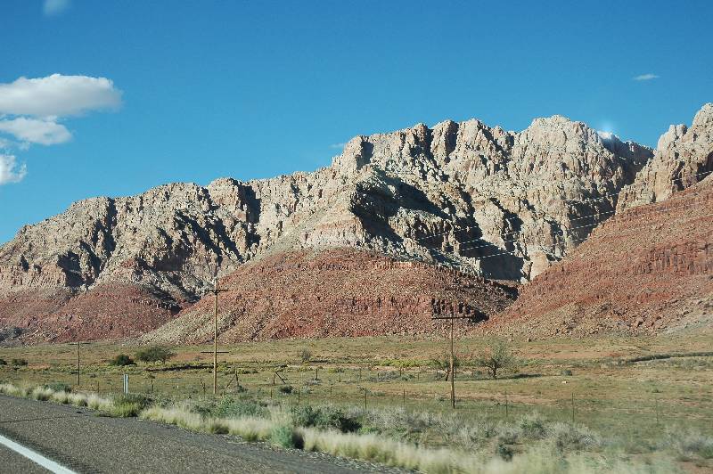
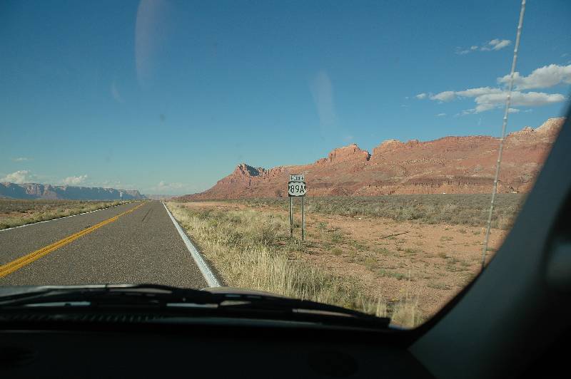
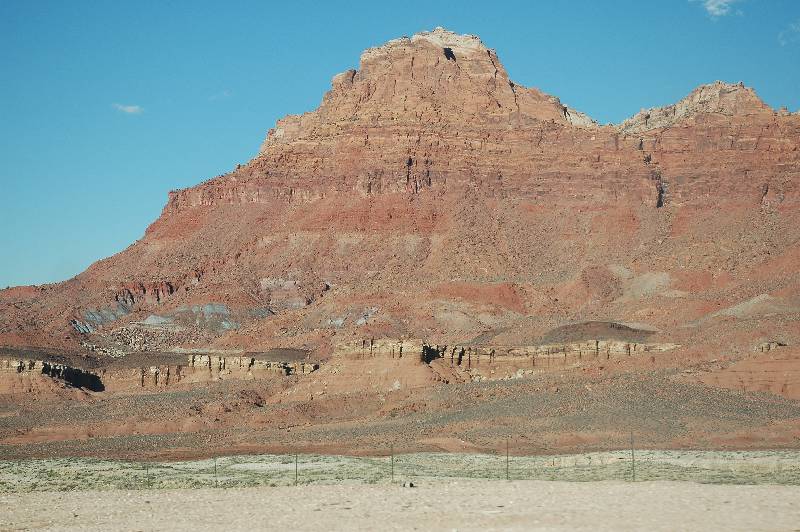
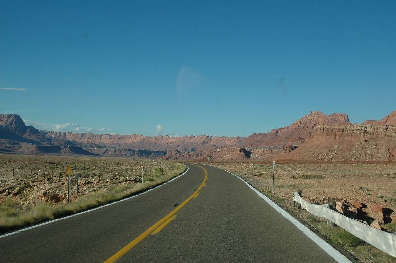
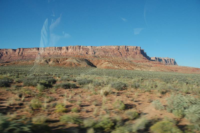
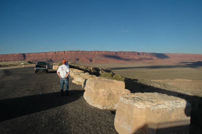
But we would stay on 89 heading almost directly north to Marble Canyon, a
narrows which allows a bridge to span the gorge. At this point we are only 10
miles from the Utah border.
gc_2004_0001.jpg)
gc_2004_0002.jpg)
gc_2004_0003.jpg)
gc_2004_0005.jpg)
gc_2004_0006.jpg)
gc_2004_0008.jpg)
gc_2004_0009.jpg)
gc_2004_0012.jpg)
gc_2004_0016.jpg)
gc_2004_0017.jpg)
gc_2004_0019.jpg)
gc_2004_0021.jpg)
gc_2004_0043.jpg) When I called for reservations, I thought it wise to ask for directions to
the lodge and received a rather polite reply that directions weren’t necessary
and we’d have no problem. As we arrived in Jacob Lake at sunset, I could see
the ridiculousness of the question! Jacob Lake is composed entirely of the lodge
and the adjoining Chevron gas station. I suppose we would have needed to consume
several quarts in order to miss it, but if we drank that much, it was more
likely we’d run into it. ;) Since we don't drink, the lodge was never in any
real danger. :) Querying the employees later we learned that most
of them are only seasonal and live in dormitories there at the lodge. There are
only a handful of permanent residents.
When I called for reservations, I thought it wise to ask for directions to
the lodge and received a rather polite reply that directions weren’t necessary
and we’d have no problem. As we arrived in Jacob Lake at sunset, I could see
the ridiculousness of the question! Jacob Lake is composed entirely of the lodge
and the adjoining Chevron gas station. I suppose we would have needed to consume
several quarts in order to miss it, but if we drank that much, it was more
likely we’d run into it. ;) Since we don't drink, the lodge was never in any
real danger. :) Querying the employees later we learned that most
of them are only seasonal and live in dormitories there at the lodge. There are
only a handful of permanent residents.
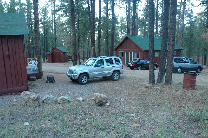
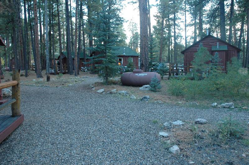
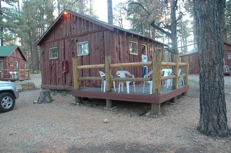
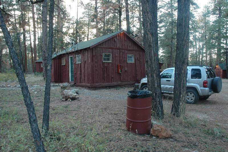
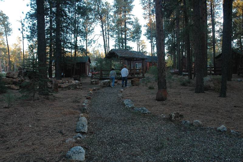
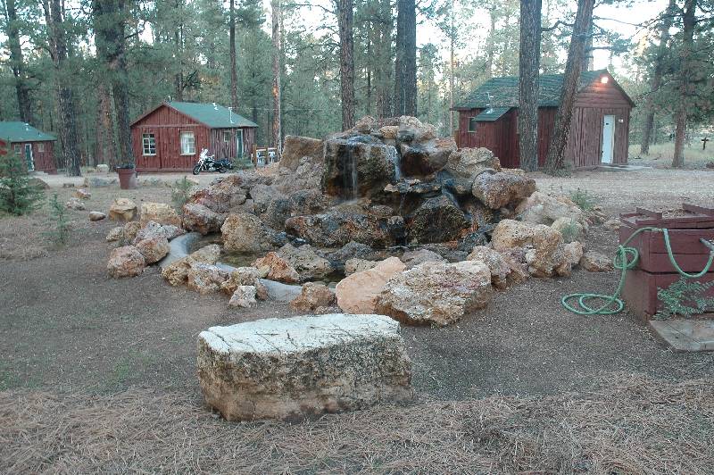
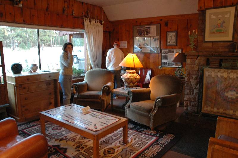
The main lodge housed the check-in, dining room, dining counter, bakery, and a small general store. In the back were the cabins of varying sizes,
all nestled within the pine forest. At an altitude of about 8200 feet, this is a
cool area (we’re talking temperature here) even in the summer. In winter the
place practically closes down because of inaccessibility due to heavy snowfall.
gc_2004_0024.jpg)
gc_2004_0025.jpg)
gc_2004_0030.jpg)
gc_2004_0031.jpg)
gc_2004_0032.jpg)
gc_2004_0033.jpg)
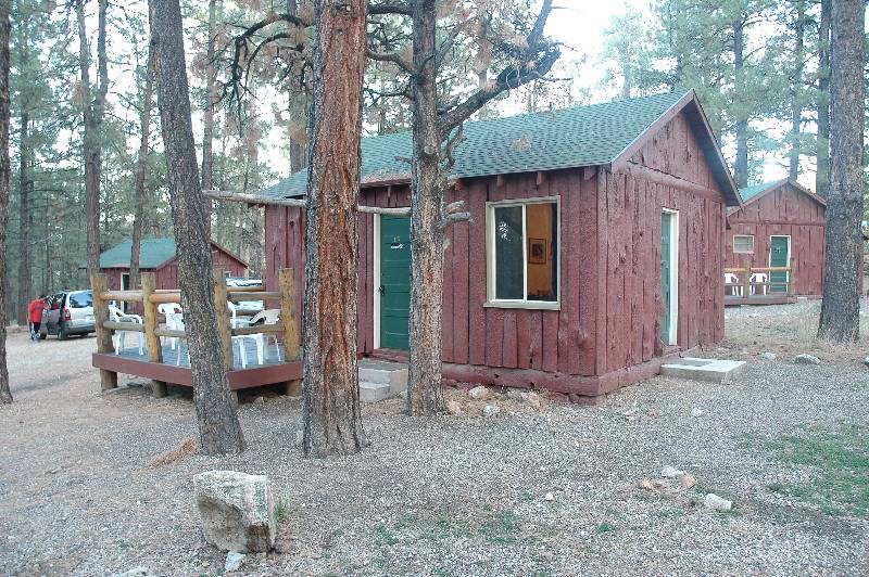
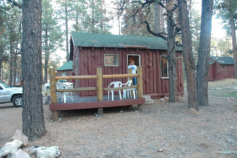
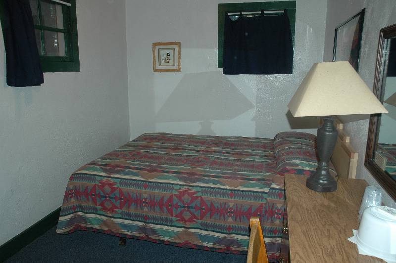
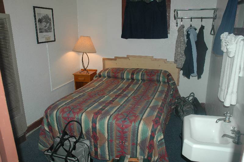
The rooms were comfortable and far from luxurious. No phone, no television,
no radio; not even a dresser! What you got was a bed, a very small desk, but
most importantly, a heater in each room. We would be spending less than 12 hours
in the room, however, and the only thought was if it would be a place we’d
like to return to some day. It seemed unlikely as we were simply too far away
from everything. This is a place to go if you wanted to do absolutely
nothing.
gc_2004_0034.jpg)
gc_2004_0036.jpg)
gc_2004_0038.jpg)
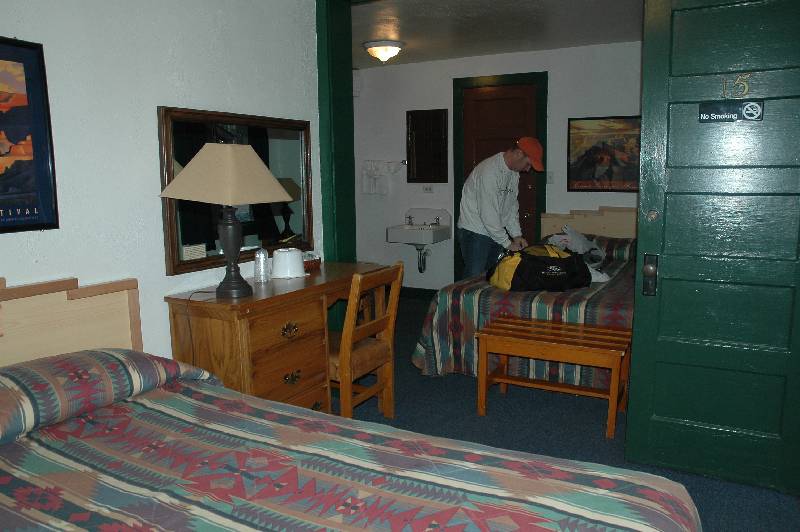
With darkness falling, we strolled over to the main lodge for dinner.
My steak must have ranked among the worst I've ever eaten. We came back to room
where Cindy and Ron struggled to solve a logic puzzle for over an hour while I
started this travelog. We then settled in early for what was a restless night. My
thoughts were now constantly on the morning hike. I must have awakened half a
dozen times each hoping to see the light of morning pouring into the room.
gc_2004_0039.jpg)
gc_2004_0040.jpg)
gc_2004_0041.jpg)
gc_2004_0044.jpg)
gc_2004_0045.jpg)
gc_2004_0046.jpg)
<< 1
2 3 4
5 >>
Return to Home Page

 The hike we planned is called Rim to
Rim and the route is shown at the left in purple. Technically, you can start from
either the South or the North Rim, but most choose the later because the North
Rim is about 1000 feet higher. For us, because Cindy was dropping us off and
would be picking us up, she would be driving to a familiar place and knew
exactly where we would finish. Going North to South, however, has disadvantages
that I had only heard about, but now got to experience first hand. Not only is
accessibility an issue, a larger one is lodging or I should say the lack of it.
The North Rim is only open from May through October and I soon discovered there
were only three available lodges, all of them small, and all of which were
booked for our selected weekend. I was not too surprised since I’d heard you
should make reservations up to a year in advance. The best one is the Grand
Canyon Lodge right on edge of the North Rim. The next one, the Kaibab Lodge is
22 miles away, just outside the park.
The hike we planned is called Rim to
Rim and the route is shown at the left in purple. Technically, you can start from
either the South or the North Rim, but most choose the later because the North
Rim is about 1000 feet higher. For us, because Cindy was dropping us off and
would be picking us up, she would be driving to a familiar place and knew
exactly where we would finish. Going North to South, however, has disadvantages
that I had only heard about, but now got to experience first hand. Not only is
accessibility an issue, a larger one is lodging or I should say the lack of it.
The North Rim is only open from May through October and I soon discovered there
were only three available lodges, all of them small, and all of which were
booked for our selected weekend. I was not too surprised since I’d heard you
should make reservations up to a year in advance. The best one is the Grand
Canyon Lodge right on edge of the North Rim. The next one, the Kaibab Lodge is
22 miles away, just outside the park.