Page 2
October 3, 2004
At just before six my wish was finally granted. It took literally a few minutes to get ready. I had everything set out ready to go and both me and Ron decided to forgo a shower. Cindy decided she’d skip breakfast until later so we headed to the lodge so we could be there right at 6:30 when it opened. We both decided on eggs and pancakes and it was a quick breakfast as we were back at the cabin by well before seven. Cindy had showered and set to go and within 10 minutes the car was packed and we were ready.
Ready? Very ready! I wished we were at the trailhead at that very moment because now real anxiety was setting in as it just wasn’t freezing cold as I thought it’d be. And I knew it wasn’t just me when I observed the lack of any complaints by Cindy who is simply always cold. Experience has taught me again and again that heat is your biggest enemy on these long treks.
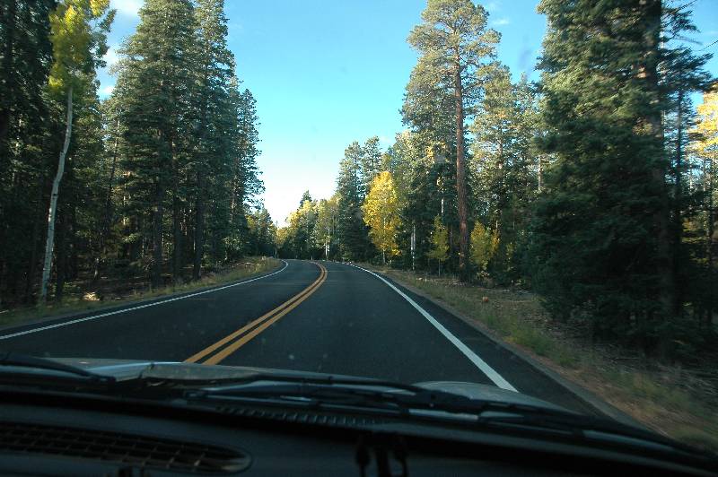
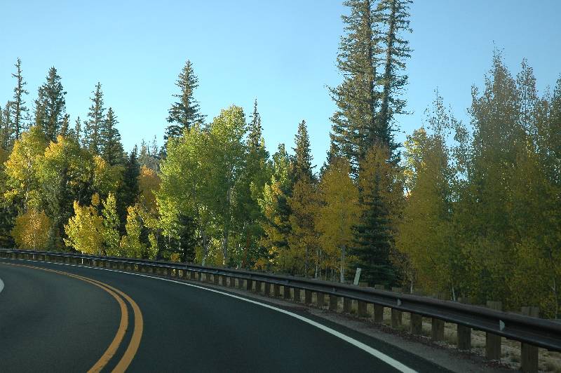
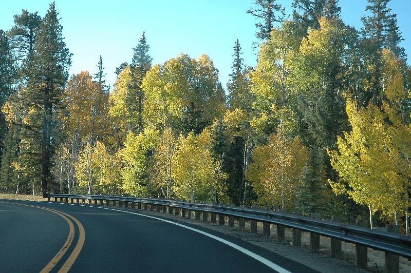
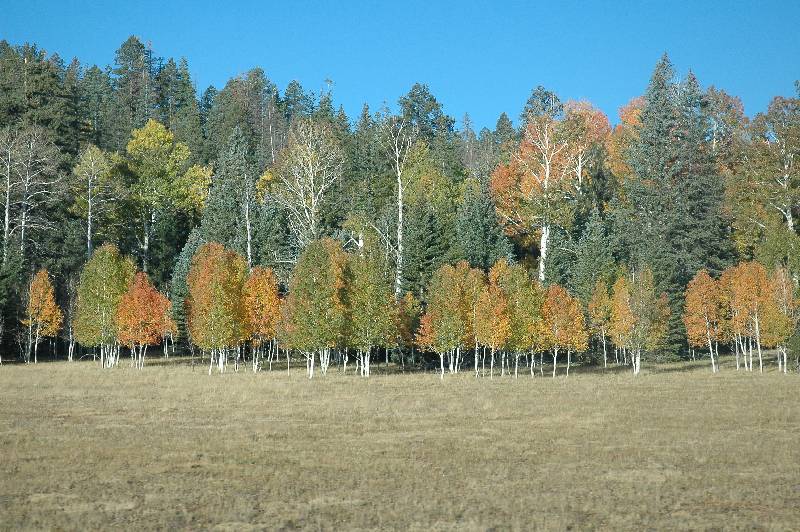
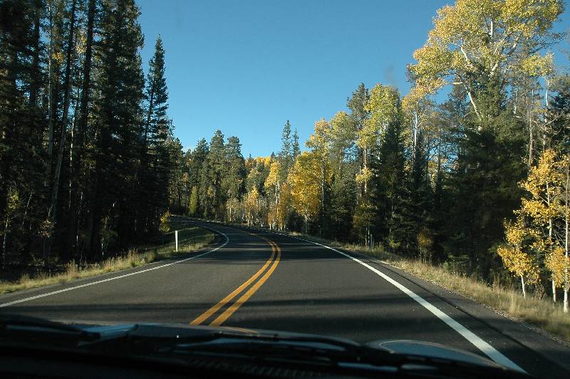
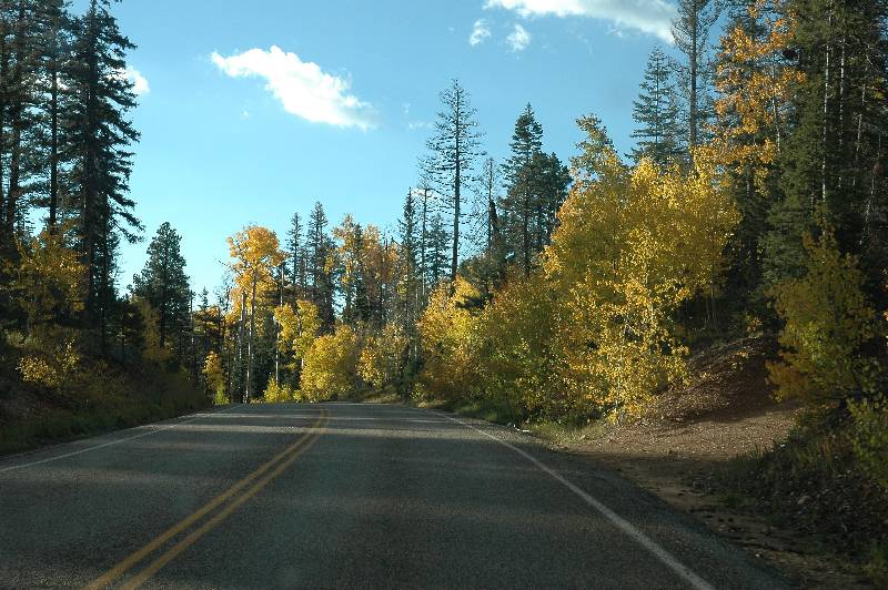
In the car with Cindy at the wheel, we started our 44 mile trip to the north rim entrance through a forest and it was deja vu as I could swear we were back in Aspen! The forest was primary juniper pine with aspen tree groves here and there all turning colors. The temperature gauge on the cars panel was now readying 38 degrees which really helped to ease the anxiety and allowed me to relax. It was slow going on what was essentially a mountain road with lots of curves and things to avoid.
 Avoid? At one point Cindy was inquiring about the walkie talkies which we
keep in the back seat at all times. She asked Ron to get them out and Ron hands
them to me saying, "Here they are ... Dear!" Wait a minute! Did he
just say, "Dear!"? He then repeats himself, pointing out the front
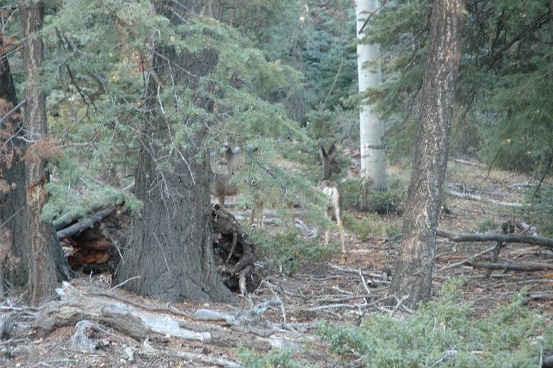
window, "Deer!" There was a deer in the middle of road up ahead and
Cindy had to slow down. It was the first of over a dozen we spotted along the
way.
Avoid? At one point Cindy was inquiring about the walkie talkies which we
keep in the back seat at all times. She asked Ron to get them out and Ron hands
them to me saying, "Here they are ... Dear!" Wait a minute! Did he
just say, "Dear!"? He then repeats himself, pointing out the front
window, "Deer!" There was a deer in the middle of road up ahead and
Cindy had to slow down. It was the first of over a dozen we spotted along the
way.
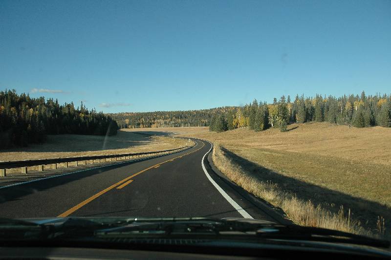
Just before hitting the park boundary, we passed the Kaibab Lodge which meant there was still 22 miles left. The park entrance itself resembled the two at the South Rim except there was no wait because there were no other cars in sight. The fee is $20 per car and good for 7 days and good at the South Rim as well. The delineation between inside and outside the park was nonexistent. The scenery was no different now that we were within the park boundary.

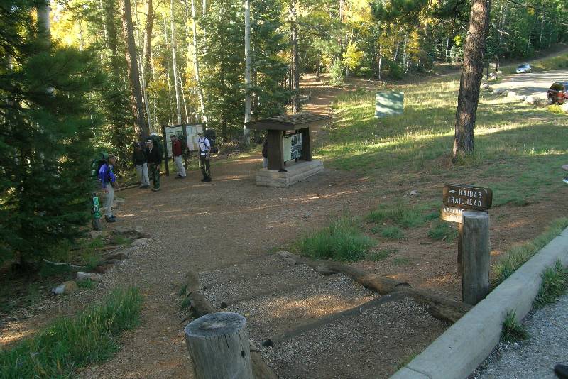
The scenery would not change at all it turned out. We arrived at the parking lot for the North Kaibab Trail (our destination - or I should really say our departure point) and the Ken Patrick Trail (which is a rim trail). The lot was surprisingly full. Just off the lot was the conspicuous corral and a dozen or more mules, an instant reminder we share the trail with them. I was hoping that was all the mules and therefore we would not encounter them on the way.

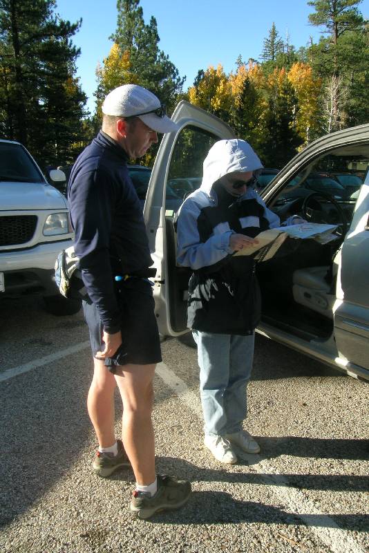
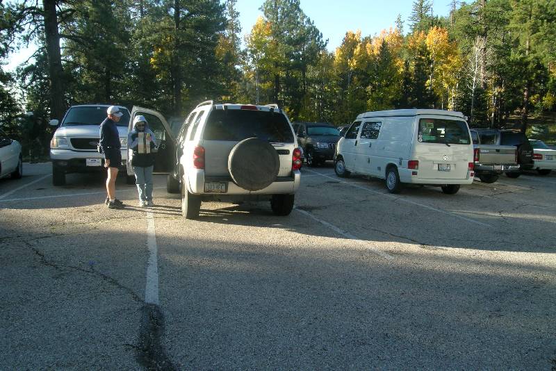
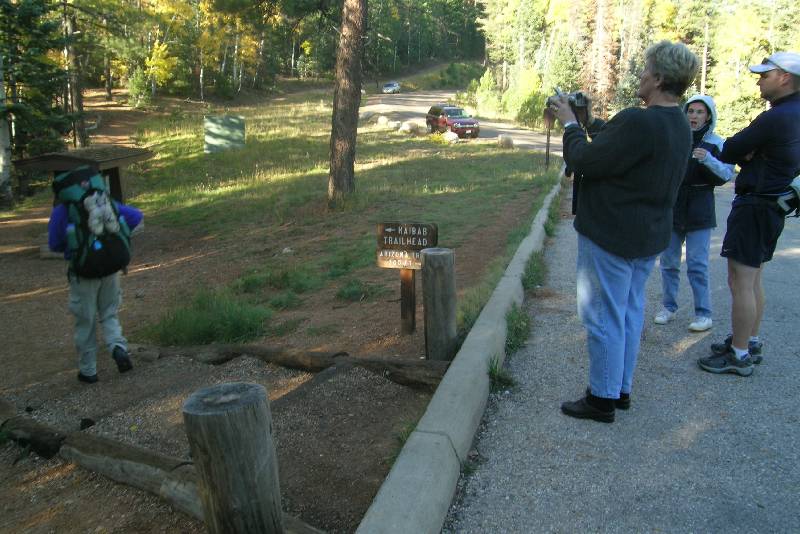
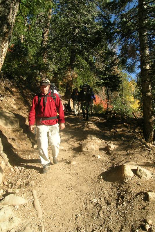
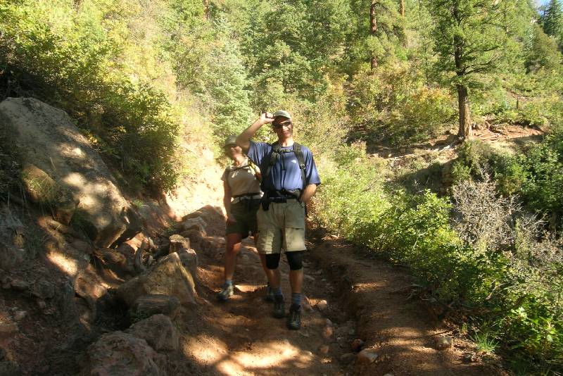
We were not alone, either. There were a number of hikers getting ready, all of them with significant backpacks and all seeming to sport hiking poles. Looking at us, I’m sure they were thinking we were out for just a short day hike. For gear, I chose my small blue fanny pack that holds a 20-ounce water bottle which I initially filled with Gatorade. There was room for my small digital camera and one peanut butter and jelly sandwich. I also carried six fig newtons and that was it for food. I decided against bringing the large digital SLR camera because of its weight. If this were a "leisurely" hike, I definitely would. Finally, I carried in the pack two spare camera batteries, tissue, and band aids. The last detail was the walkie talkie which I turned on, made sure they were set to the right channels, made a final test, clipped mine to my belt, and gave Cindy the other.
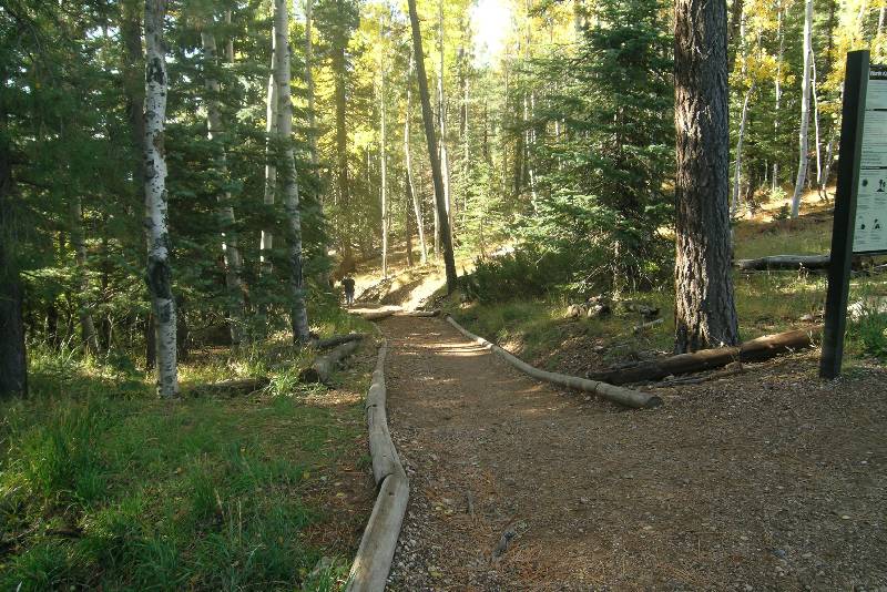
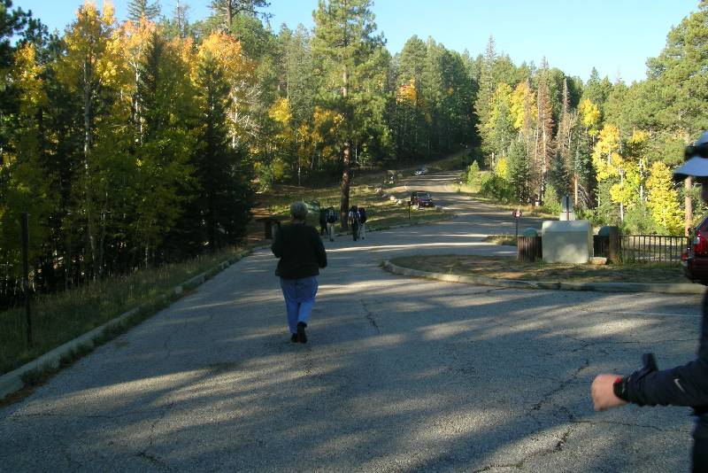 The trailhead was very close to the entrance
of the parking lot and it was
unlike the ones on the South Rim. This looked like a trail you’d find through
a forest; not one that descends into a desert which is the Grand Canyon! We were actually held up
at this point for hikers just ahead of us. It is customary for a group picture
to be taken at the trailhead so we waited a few moments. Then it was our turn
and at this point I really felt good. Even though I wished it were cooler, the
excitement of the moment had overtaken me. I was here! We were about to start
the odyssey and there were no worries that it might turn into a long ordeal.
The trailhead was very close to the entrance
of the parking lot and it was
unlike the ones on the South Rim. This looked like a trail you’d find through
a forest; not one that descends into a desert which is the Grand Canyon! We were actually held up
at this point for hikers just ahead of us. It is customary for a group picture
to be taken at the trailhead so we waited a few moments. Then it was our turn
and at this point I really felt good. Even though I wished it were cooler, the
excitement of the moment had overtaken me. I was here! We were about to start
the odyssey and there were no worries that it might turn into a long ordeal.
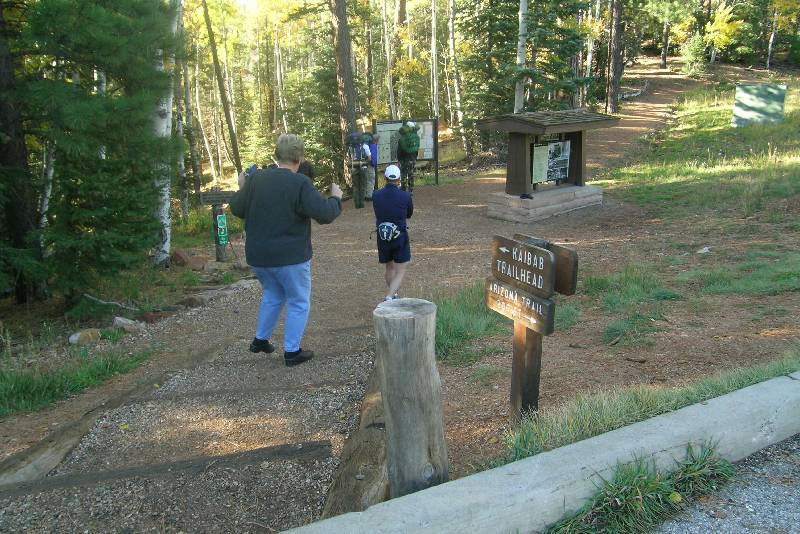
 I said my goodbye to Cindy who gave me the customary don’t-push-yourself
speech and said we’d meet on the other side, just 18 miles away from this very
spot, as the crow flies, that is. Don’t push myself? It was a funny thought
later when I considered this response: how will I get out of the canyon if I don’t
push myself? After we started she headed a mile down the road to the
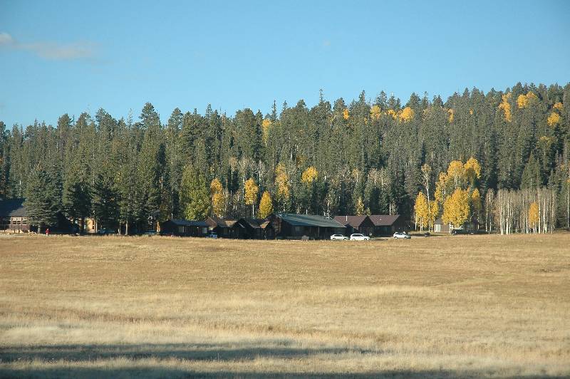
Grand Canyon Lodge where she did a walk around and ate a pancake breakfast (she
said our pancake meal earlier sounded good) in the dining room which had a
beautiful view looking toward the South Rim. Fortunately she decided to grab my
SLR to take some snapshots and fortunately I had left the camera with the
correct settings so I got to see what it looked like. Cindy said later without
hesitation that this is where we should have stayed and thought we should book a
room now for a weekend next year at about this same time.
I said my goodbye to Cindy who gave me the customary don’t-push-yourself
speech and said we’d meet on the other side, just 18 miles away from this very
spot, as the crow flies, that is. Don’t push myself? It was a funny thought
later when I considered this response: how will I get out of the canyon if I don’t
push myself? After we started she headed a mile down the road to the
Grand Canyon Lodge where she did a walk around and ate a pancake breakfast (she
said our pancake meal earlier sounded good) in the dining room which had a
beautiful view looking toward the South Rim. Fortunately she decided to grab my
SLR to take some snapshots and fortunately I had left the camera with the
correct settings so I got to see what it looked like. Cindy said later without
hesitation that this is where we should have stayed and thought we should book a
room now for a weekend next year at about this same time.
The Rim Mile: 0.0 / 24.1 (miles to go) Elevation: 8,241
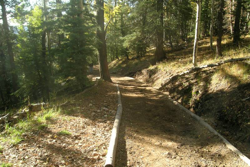
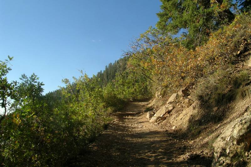
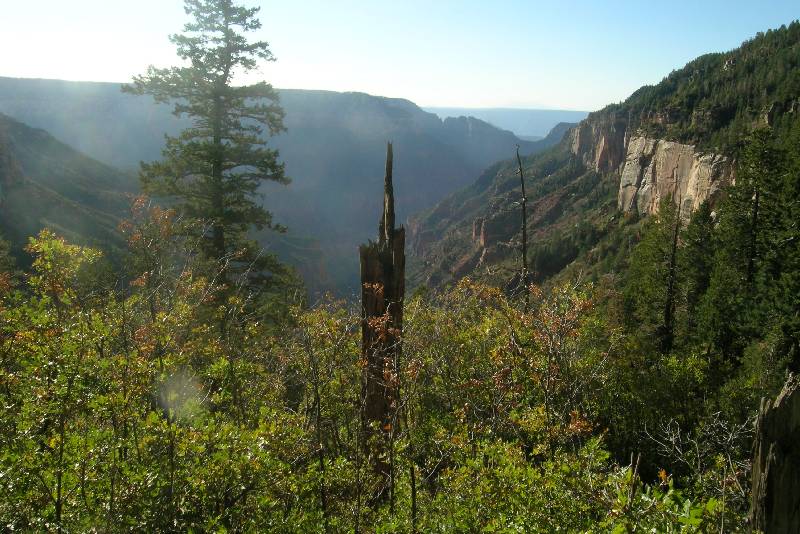
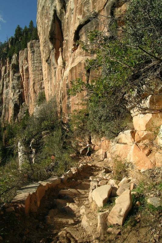
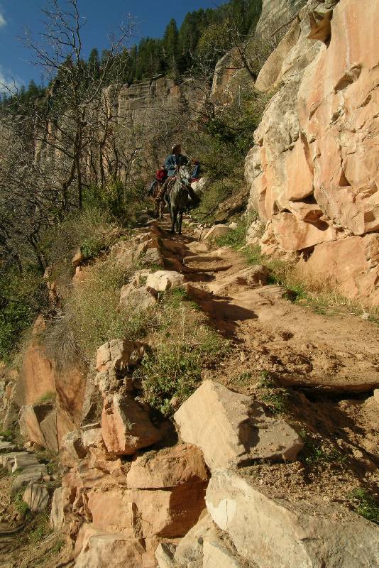
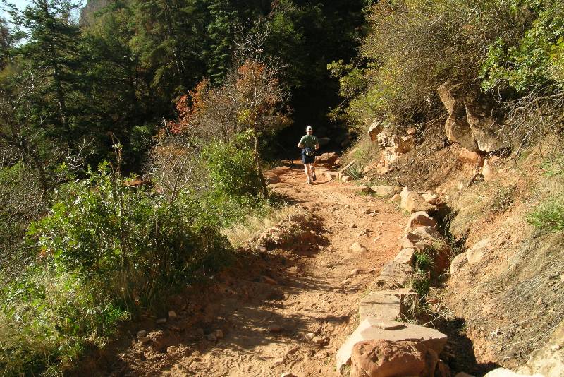
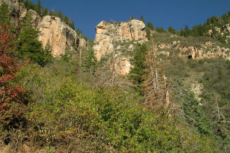
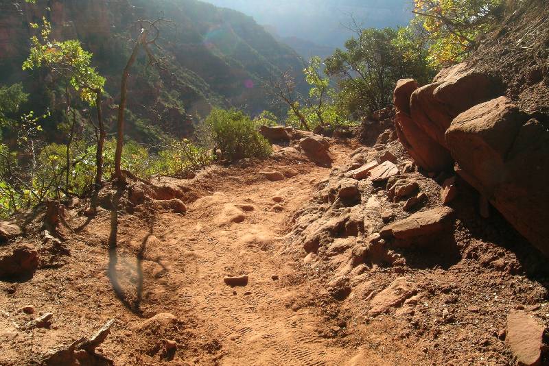
Starting the hike, the feel of the trail was very familiar. And with mule droppings to avoid, the smell was, also. But the look was entirely different. The path was carved through the pine trees and you hardly had a hint of where you were going. We could only pick up the walls of the nearby canyon here and there during a clearing. The distant South Rim was invisible. It was probably good not to see how far it was away.
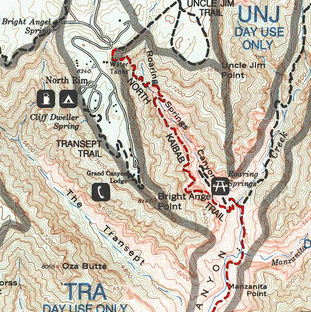 |
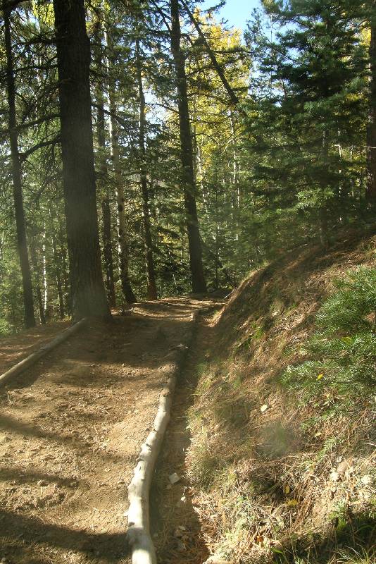
Our route down the North
Kaibab Trail is shown in red. The start of our hike starting down
Roaring Springs Canyon until it joins with Bright Angel Canyon.
The close contours show the rapid descent on the upper part of this trail. |
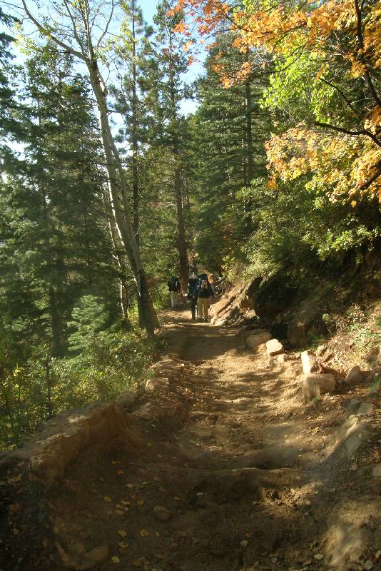
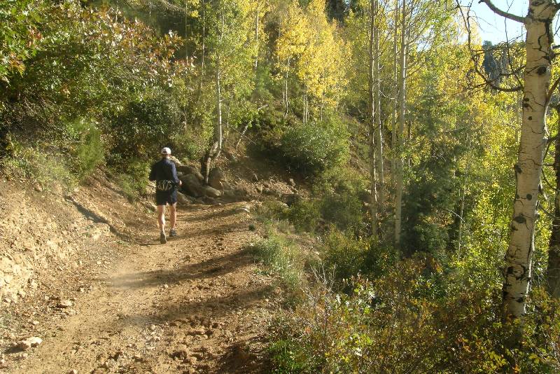
With smiles, we passed at least 10 different hiking parties (all decked out in full backpacks and all descending) as we were moving many times faster. Of course I was holding us up here and there taking snapshots and admiring the view when we had a clearing. The weather looked like it would be fairly clear for at least the next couple of hours. Unfortunately it might also get very hot.


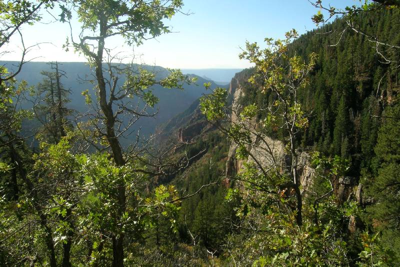
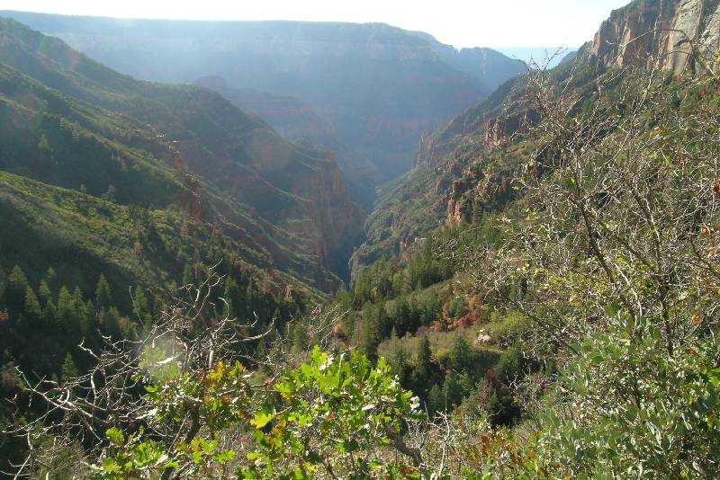
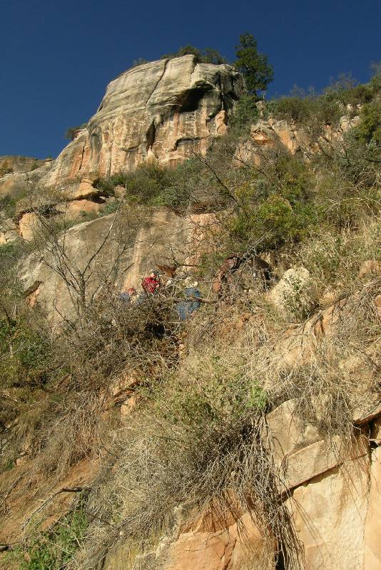
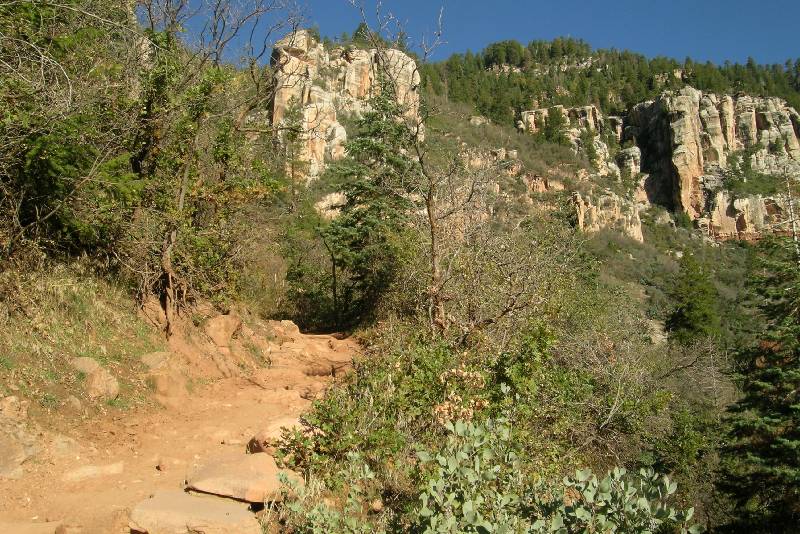
Coconino Overlook Mile: 1.3 / 22.8 Elevation: 7,400
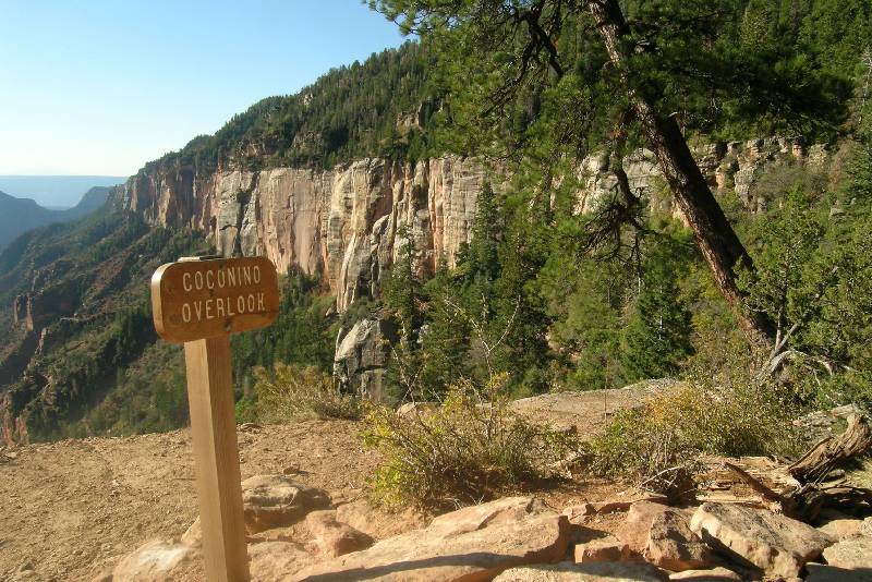
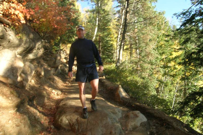
 The first really good view was named with a small
wood sign that read
Coconino Overlook. Ron, of course, leading the way arrived there just before I
did and was at the ledge. We said he looked down and got a small case of vertigo
because the cliff was so sheer. We spent only a brief time to take in the view,
but failed to really get the big picture. The picture told the story to me
later. You could see the "tiny" side canyon we were in (yes, this
would be tiny on the scale of the Grand Canyon), the Bright Angel Canyon that we
would enter next, and then wwwwwaaaayyyy off in the incredibly far distance was
our first glimpse of our ultimate destination: the South Rim.
The first really good view was named with a small
wood sign that read
Coconino Overlook. Ron, of course, leading the way arrived there just before I
did and was at the ledge. We said he looked down and got a small case of vertigo
because the cliff was so sheer. We spent only a brief time to take in the view,
but failed to really get the big picture. The picture told the story to me
later. You could see the "tiny" side canyon we were in (yes, this
would be tiny on the scale of the Grand Canyon), the Bright Angel Canyon that we
would enter next, and then wwwwwaaaayyyy off in the incredibly far distance was
our first glimpse of our ultimate destination: the South Rim.
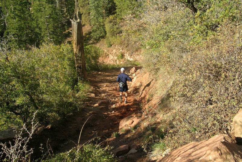
Arrrrrgggghhhhh!!!! Mules ahead and they were descending! At first I thought we were going to get off easy because the wrangler (who is the lead rider) within only a few minutes stopped the party and signaled this was a good spot to pass. You never just run past the mules. The wrangler knows where there is enough shoulder so you don’t get too close. Even then I’ve been through this drill many times before and they also instruct you to move slowly and quietly to not startle the mules. Soon we were back to full speed, but it only lasted for a few precious minutes.
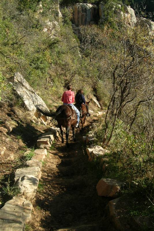
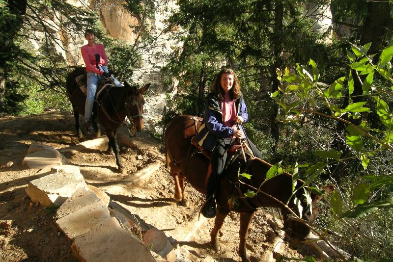


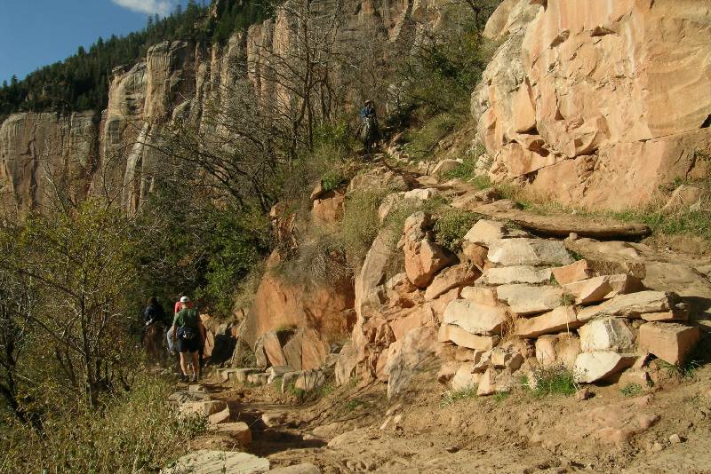
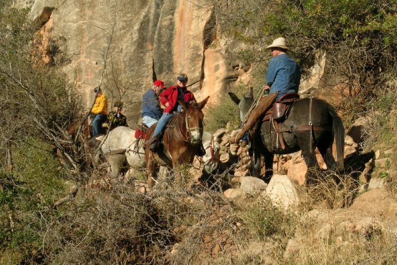
There was another mule train also heading down and this one I could see was much longer and unfortunately seemingly moving much slower. There was apparently no safe spot to pass so we ended up following them for what seemed like 15-20 minutes. The mule trips from on this trail do not go to the bottom. They only go about 2 miles to a place called the Supai (pronounced: soo-pie) Tunnel. At worst we’d be able to pass there which couldn’t be much farther. Finally, the wrangler signaled an opening and as instructed we quietly passed on the right (to the left was the drop off). When clear we thanked the wrangler and wished everyone a good trip and we back jogging.


![]()